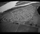
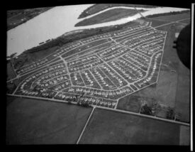
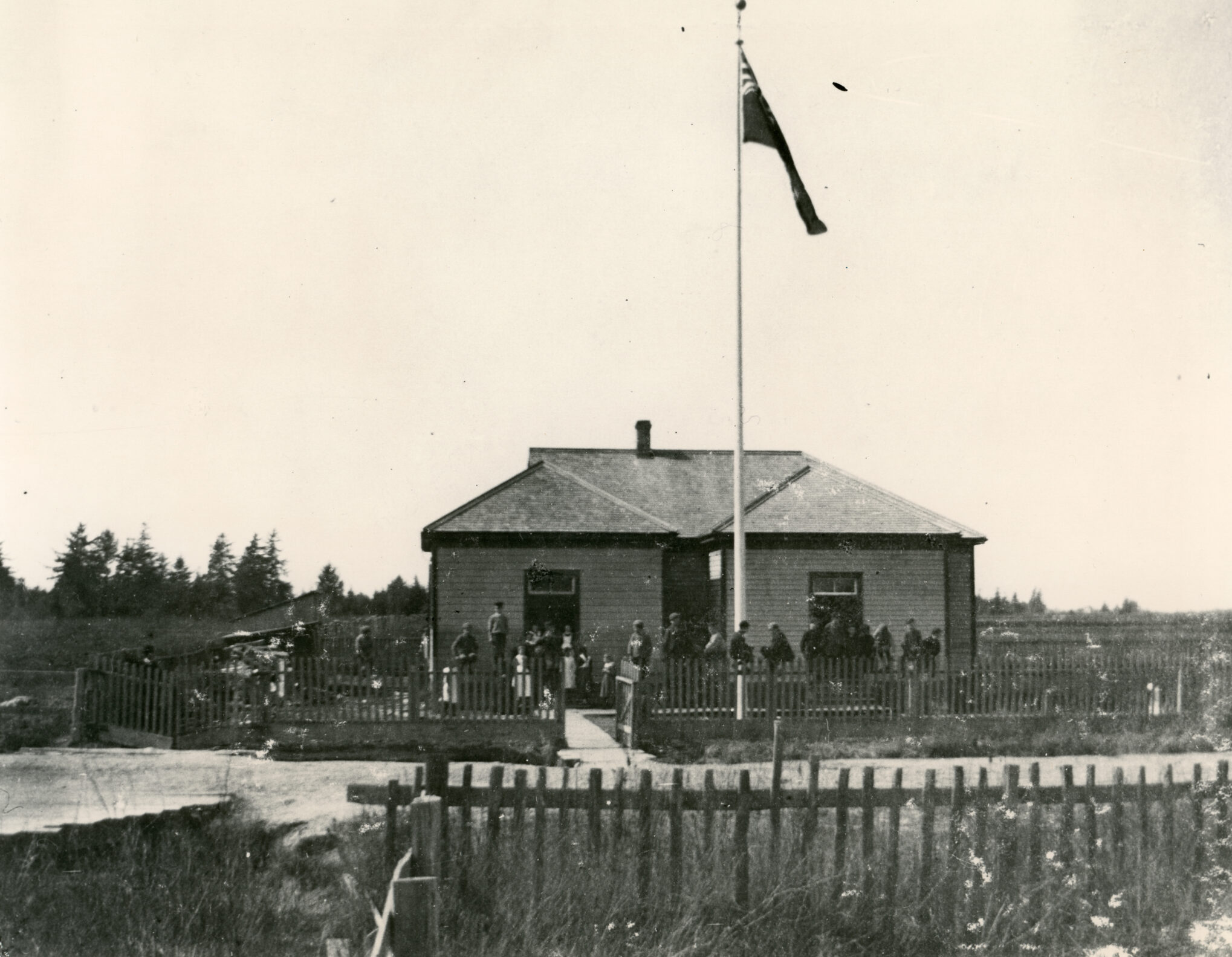
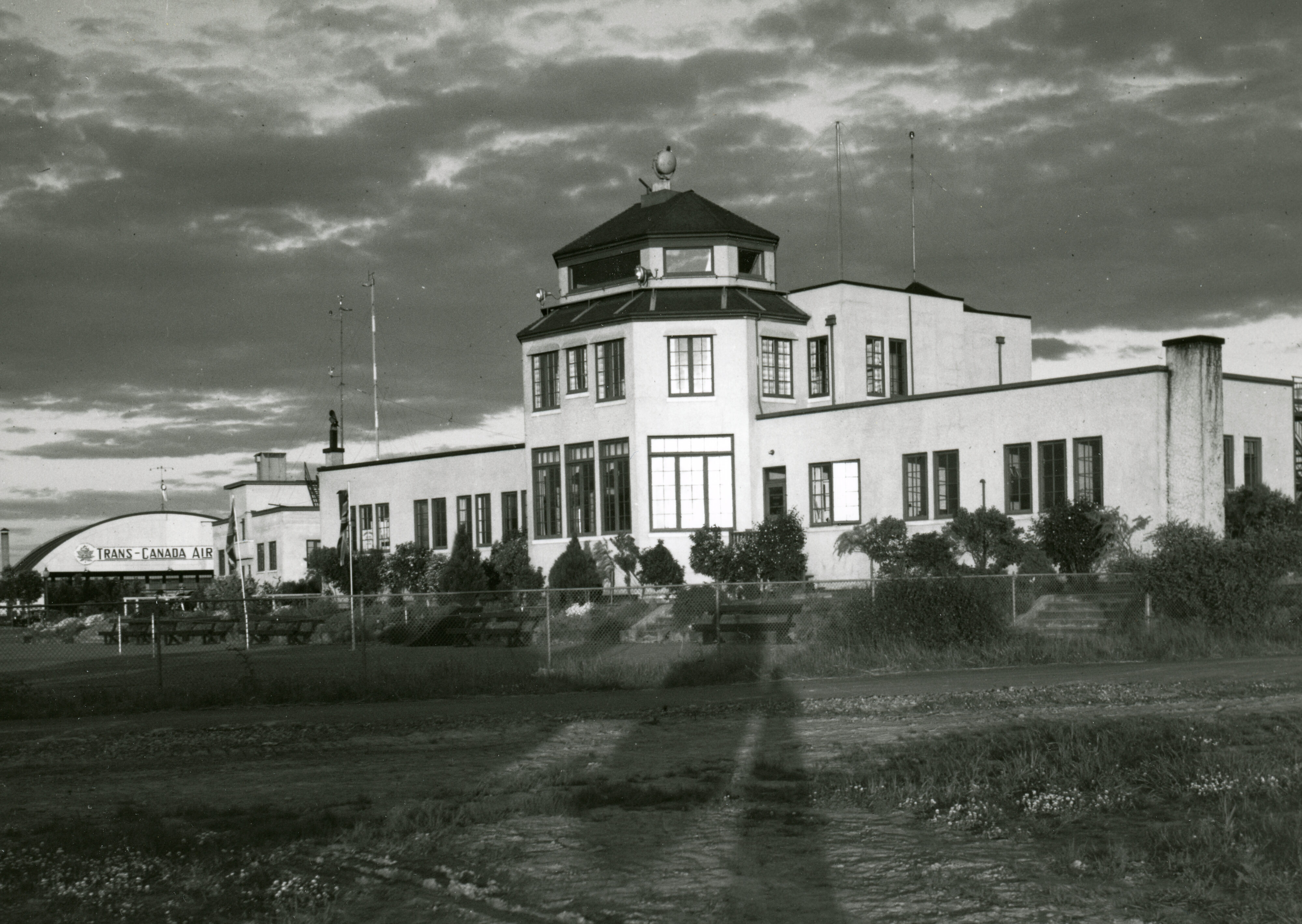
Skip to Content

SEA ISLAND

49.181244734509 -123.16854129787
49.177688964711 -123.16487203594
49.178523514419 -123.15582434847
49.182422349556 -123.15010544705
49.185749743385 -123.14483986743
1. Larry Berg Flight Path Park
closeBack

1. Larry Berg Flight Path Park

Sea Island: The Aviation Story

Welcome to Sea Island, a place rich in the history of flying. Before Europeans arrived, this area was used by Coast Salish First Nations. In the early days of settlement, the island’s flat delta landscape and closeness to the Gulf of Georgia made it ideal for farms and fish canneries. Later, this landscape provided an excellent location for an airport. Today, Sea Island is known primarily as the home of the internationally recognized Vancouver International Airport (YVR), which serves close to 25 million passengers each year and employs more than 23,000 people.

Larry Berg Flight Path Park

Located directly in line with the end of the airport’s south runway, Larry Berg Flight Path Park is a perfect place to watch planes, play and enjoy a picnic. During his 20 years at YVR, President and CEO Larry Berg oversaw many developments: new runways were built, terminals were upgraded and the airport was connected to the Canada Line.

Back in the 1930s, this spot was so popular the Seabright Ice Cream Parlour opened up shop here. Aviation enthusiasts enjoyed their treats while witnessing the birth of commercial air transportation and the first modern passenger service linking Vancouver to transcontinental destinations.

The outbreak of World War II brought new types of aircraft to the airport. Soon, yellow de Havilland Tiger Moth biplanes became a familiar sight as pilots at the Royal Canadian Air Force station on Sea Island prepared for service in Alaska during the war.

Photo Credit: Robert Gordon built the Seabright Ice Cream Parlour, seen here in 1935, to cater to plane spotters. Don Gordon Collection. City of Richmond Archives

2. Burkeville: A Wartime Housing Project
closeBack

2. Burkeville: A Wartime Housing Project

The 328 houses in this neighbourhood were built to address a World War II housing shortage. Gasoline and rubber were in short supply during the war, so it was important to house aviation workers and their families close to the airport, rather than have them waste valuable resources on long commutes. From Burkeville, workers could walk to the Boeing Aircraft Plant, located

at 5400 Airport Road South, in half an hour. This was especially helpful for those working long or late shifts.

The creation of this new community was controversial. Many Sea Island residents and farmers were forced to relocate because the federal government took over their land to build housing for the workers.

When it was completed in 1944, the community was named Burkeville, after Stanley Burke, the president of Boeing Aircraft. Continuing the theme, the streets were named after planes manufactured by the community’s workforce in the Boeing plant.

Photo Credit:Royal Canadian Air Force reserve squadron members at work, circa 1951. Vancouver Sun, April 7, 1951, City of Richmond Archives 2001 5 2

3. Family Homes for Workers
closeBack

3. Family Homes for Workers

Burkeville was a planned neighbourhood based on wartime need and the best planning practices of the time. Houses were available in three designs, with three different exterior colours and four roof colours. All were small, between 700 and 900 square feet, and had either four or six rooms. They would have been especially cozy given the large family sizes back then!

The homes and gardens of Burkeville have changed over time, reflecting their many owners. But the curved streets and unpaved back lanes you see today remain true to the neighbourhood’s original design.

4. Sea Island School
closeBack

4. Sea Island School

The first Sea Island School opened in 1890 at the corner of McDonald
and Grauer Roads, on land donated by the McDonald family. At the time, children were expected to help out during harvests and other busy periods on the farms, so their attendance at the one-room school depended on the season.

The original school closed in 1914, and students attended other schools in Richmond until Sea Island Elementary School opened here on Wellington Crescent in 1947. The new school was housed in a cottage-style building that featured all the modern facilities and six rooms on one floor. Sea Island Elementary closed in 2019 due to a lack of students.

Photo Credit:The original Sea Island School, circa 1896. Vancouver Public Library 9951

5. Sea Island Community Centre
closeBack

5. Sea Island Community Centre

Burkeville has always been a tight-knit community. Over the years, residents have supported the creation of playgrounds, a church, a school and a community centre.

This building, originally Ernest Cooney’s barn, was given new life as the Sea Island Community Centre. It was the heart of Burkeville and hosted many memorable events. A newspaper report from December 1945 described how the centre was transformed into a “veritable fairyland,” with 300 elves and fairies all waiting to receive gifts from Father Christmas.

Photo Credit: Children’s theatre at Sea Island Community Centre in 1949 or ‘50.
Photo courtesy of Sea Island Heritage Society

6. BCIT Aerospace Technology Campus
closeBack

6. BCIT Aerospace Technology Campus

The British Columbia Institute of Technology (BCIT) Aerospace Technology Campus has been training aircraft maintenance engineers, gas turbine and jet engine technicians, airport operation specialists, and commercial pilots since it opened in 2007.

The jewel of the campus is its 40,000-square-foot see-through hangar. If you peer through the glass, you are likely to see BCIT students working on several types of aircraft including light piston, turboprop and corporate planes, jet transport aircraft, and helicopters.

7. Firehall No. 4
closeBack

7. Firehall No. 4

The Sea Island Fire Hall you see today has been in operation since 2007. It replaced the 60-year-old Burkeville Fire Hall No. 4 located at 780 Lancaster Crescent. When that hall opened in 1947, all firefighters in Richmond were volunteers. By 1969, volunteer brigades were being phased out and replaced by paid professionals. The Sea Island Volunteer Fire Brigade closed soon after.

The new two-storey, 7,300-square-foot Firehall No. 4 was built to deliver post-disaster support in addition to fire and rescue services. The sustainable building includes rainwater collection for irrigation and truck washing, a solar hot water system, and a 60-foot training and hose-drying tower.

Photo Credit:Burkeville former Fire Hall in 1947. Photo courtesy of Richmond Fire Rescue

8. South Terminal Viewing Platform
closeBack

8. South Terminal Viewing Platform

Bike: 8 mins

Walk: 35 mins

Drive: 5 mins

The Vancouver Civic Airport opened in 1931, when $600,000 was invested in a runway and a wood-framed building topped by a control tower—after aviator Charles Lindbergh refused to visit because there was “nothing fit to land on.” Today this site is known as Airport South or the South Terminal.

In the early days, most flights were for sightseers who wanted to view the Vancouver area and the local mountains. Flights landing after dark were guided to the landing strip by a line of storm lanterns. If more light was needed, airport staff put a call out for help on the local radio station, and obliging car owners parked on the edges of the runway with their headlamps on.

The airport continued to grow. It was renamed the Vancouver International Airport in 1948 and, 20 years later, the Main Terminal Building was added. Since 2009, YVR has been consistently recognized as one of the world’s best airports, and it is home to the largest float plane company in the world. Stop by the viewing platform to spot traffic from the South Terminal, or relax at the Flying Beaver Bar and Grill beside the seaplane terminal and watch float planes come and go.

Photo Credit: Vancouver Airport terminal building, 1937.
Eric Rathborne photograph, City of Richmond Archives 1997 5 22

Back to top