
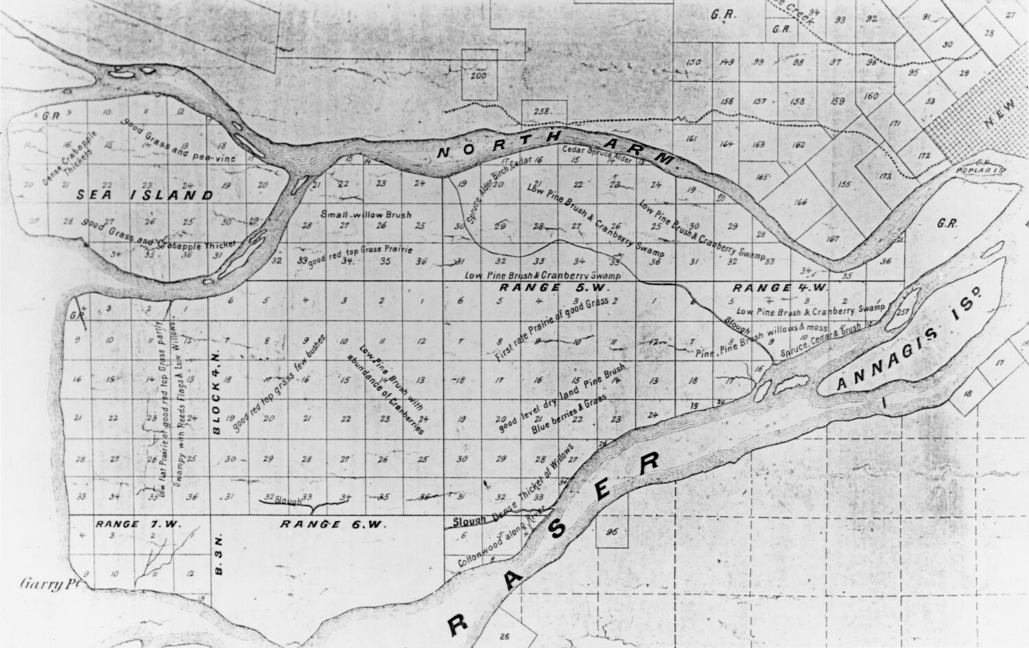

A Map Settles It
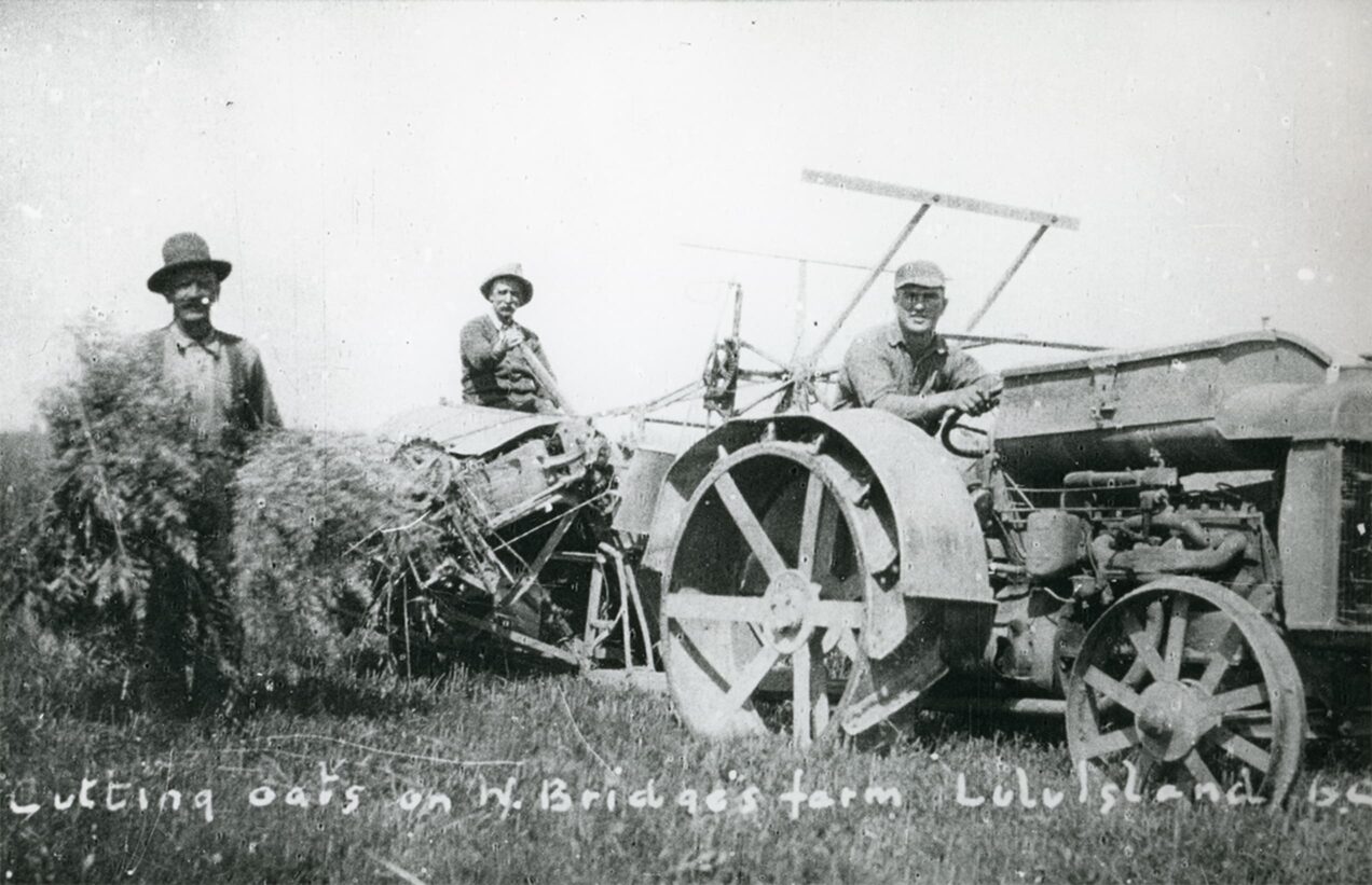
In 1859, the Royal Engineers survey Lulu and Sea Islands. They divide the lands into 160-acre blocks, which are then made available to homesteaders.
Early farmers soon start clearing the land. The area quickly becomes the Lower Mainland’s “breadbasket,” supplying nearby cities with vegetables, grains, dairy and beef.

A Township
Locals petition the Lieutenant Governor-in-Council asking him to grant Richmond status as a municipality.
They are successful and the Corporation of the Township of Richmond is born in 1879.
The new township can levy taxes to pay for building and maintaining dikes, roads, bridges and providing other services.
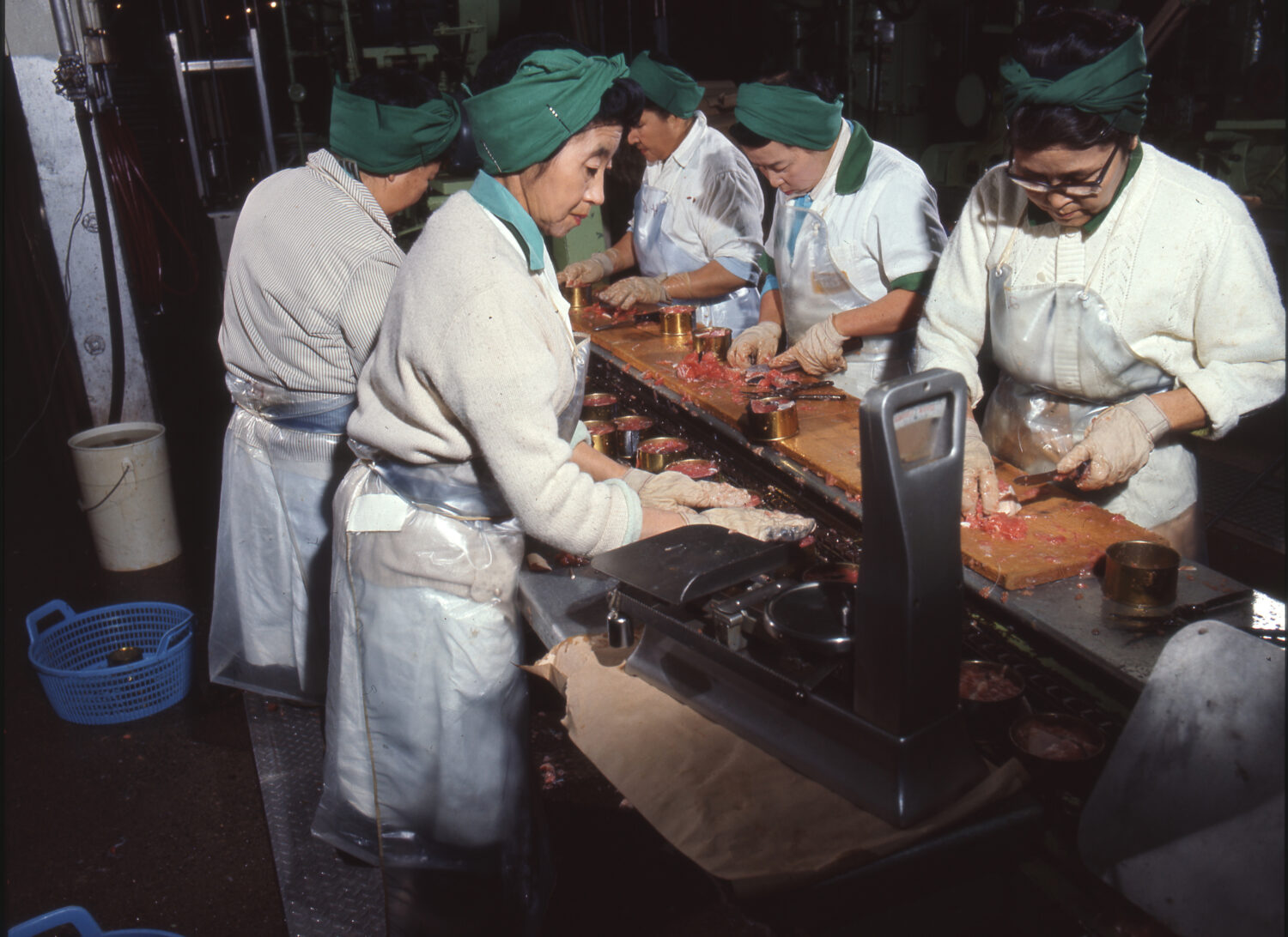

Salmonopolis
A fishing industry grows up on the banks of the Fraser River seemingly overnight.
The first commercial cannery opens in 1871. At the peak of the fishery, well over 30 canneries staffed by Indigenous, Japanese, Chinese and White Settlers run full throttle shipping canned salmon around the world. The last cannery closes in the 1990s.
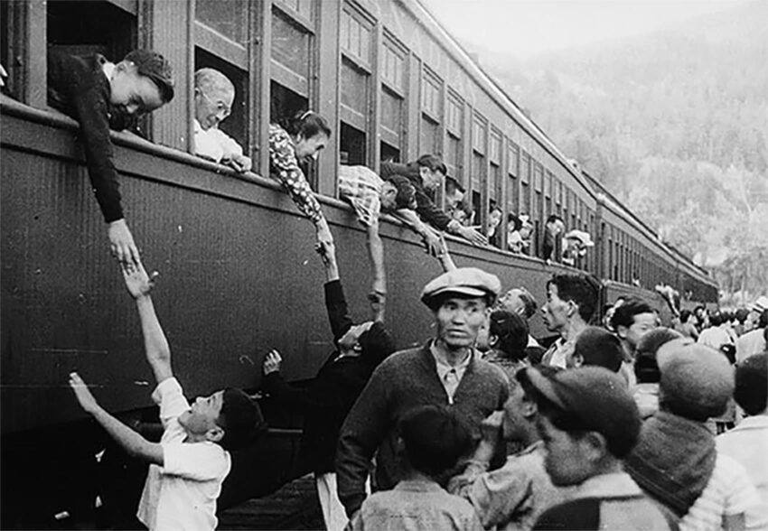
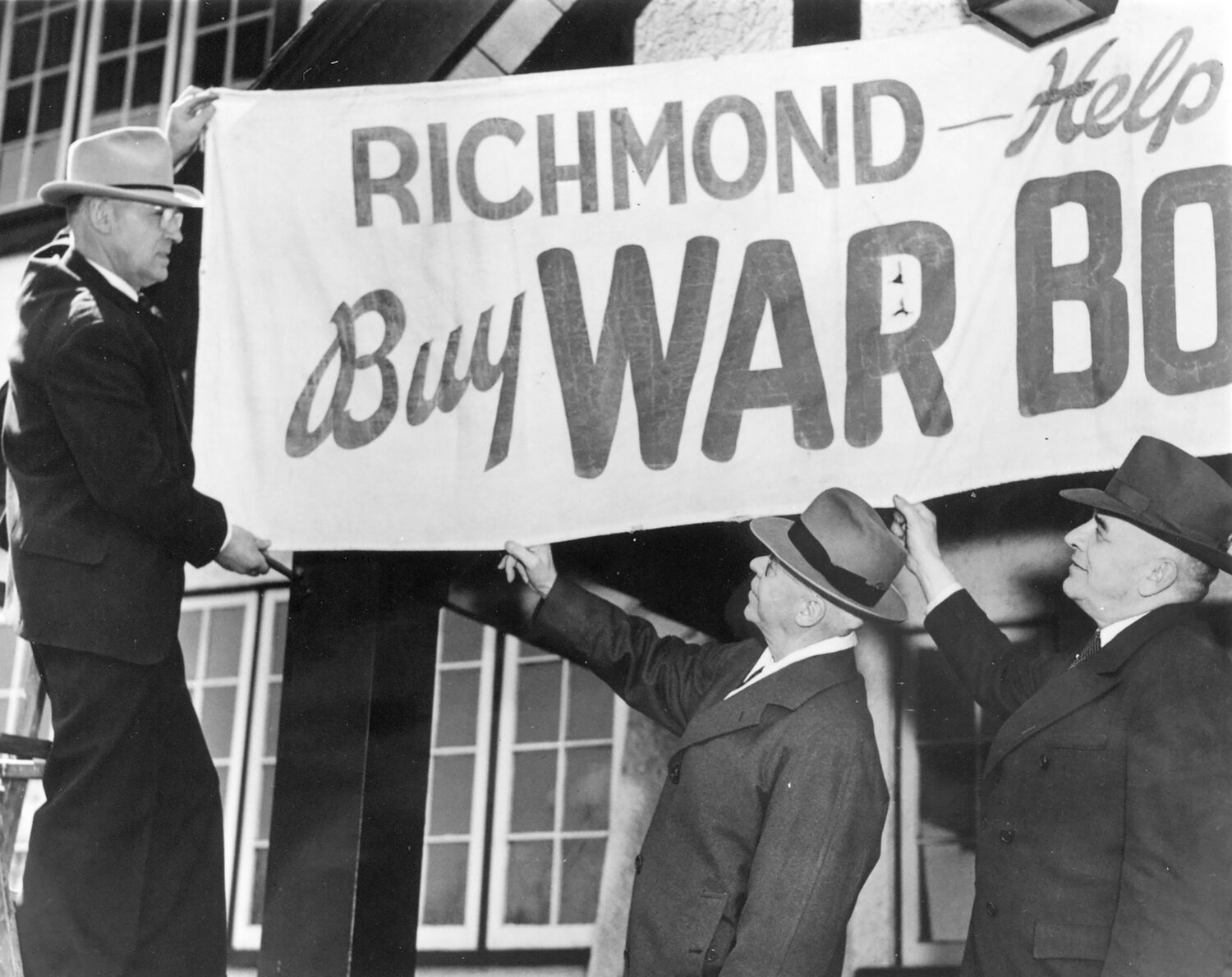

Second World War
Steveston loses 80 percent of its population in 1942 when the federal government interns 2,000 Japanese Canadians.
Burkeville is built to provide 300 houses for workers at the nearby Boeing Canada Aircraft factory, which is building warplanes. At its peak in 1945, the plant employs 7,000 workers, many of them women.

Town Planning
Urban planning takes a leap forward in 1949 when Richmond passes its first zoning bylaw.
The bylaw creates districts for business, commercial, industrial, rural, and family dwellings. It also creates regulations for the location, use and height of buildings, and the size of yards and open spaces. Richmond is transformed.

New Canadians
New waves of immigration start after Canada’s immigration rules change in 1967.
Immigration from Hong Kong grows in the 1980s and 1990s. Migration from China, the Philippines, India and other Asian countries accelerates in the following decades.
Today, the majority of Richmond’s residents are of Chinese descent, but the city is home to close to 150 different ethnic roups.
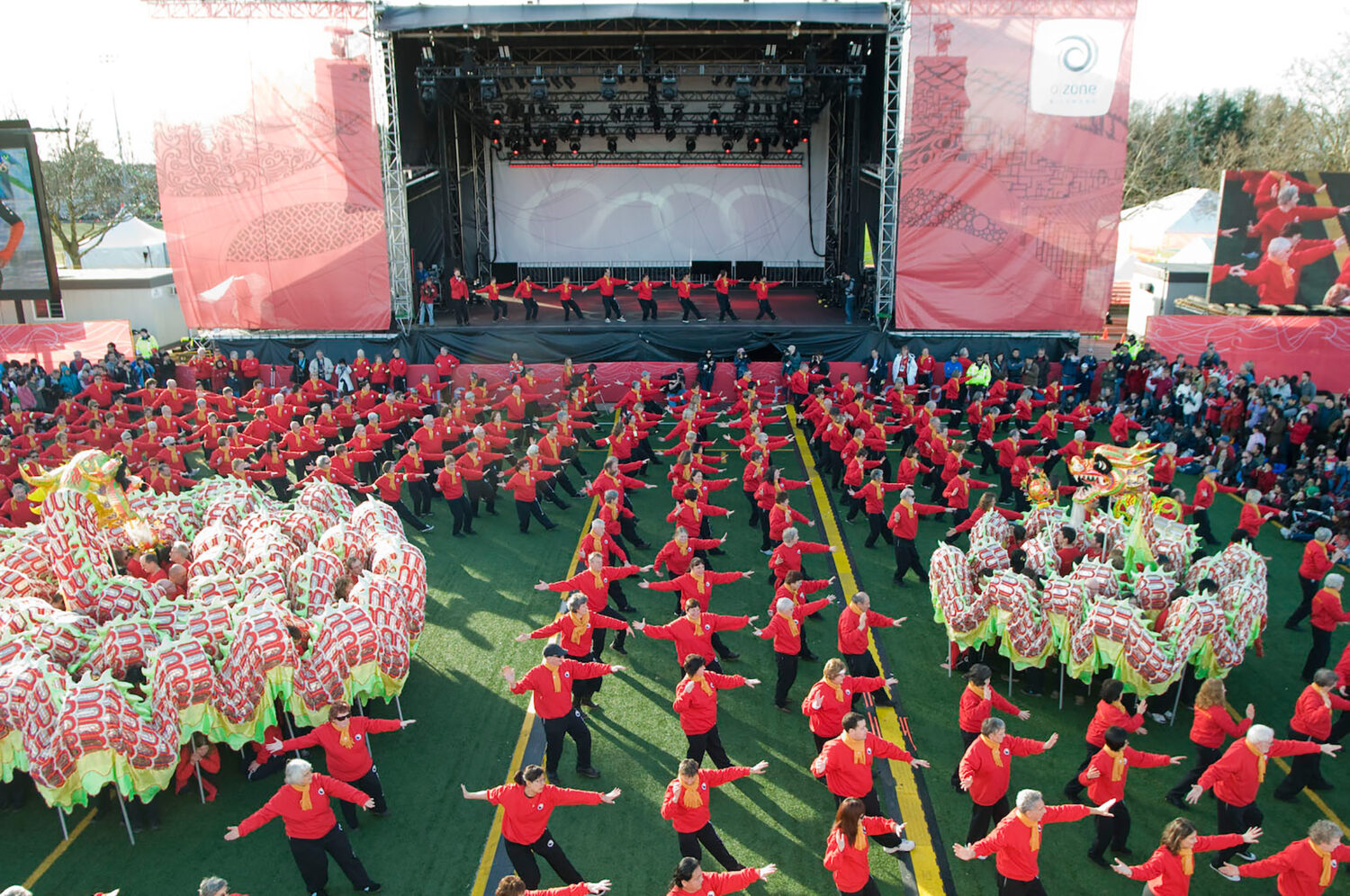
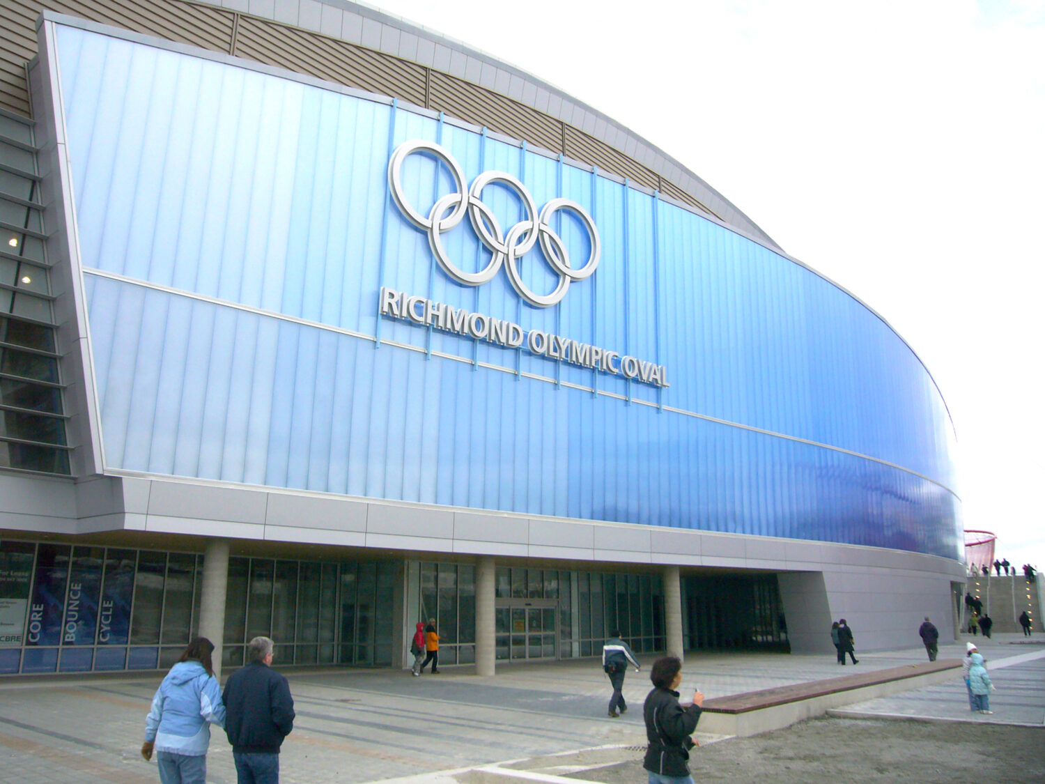

2010 Winter
Olympics
More than 1,000 volunteers share the best of the Richmond during the 2010 Olympic Winter Games.
Richmond hosts fiercely contested long-track speed skating events in the newly constructed Richmond Olympic Oval while the Richmond OZone comes alive with non-stop cultural celebrations.
Richmond’s Olympic legacy lives on in sport facilities, a boost in tourism – and great memories.
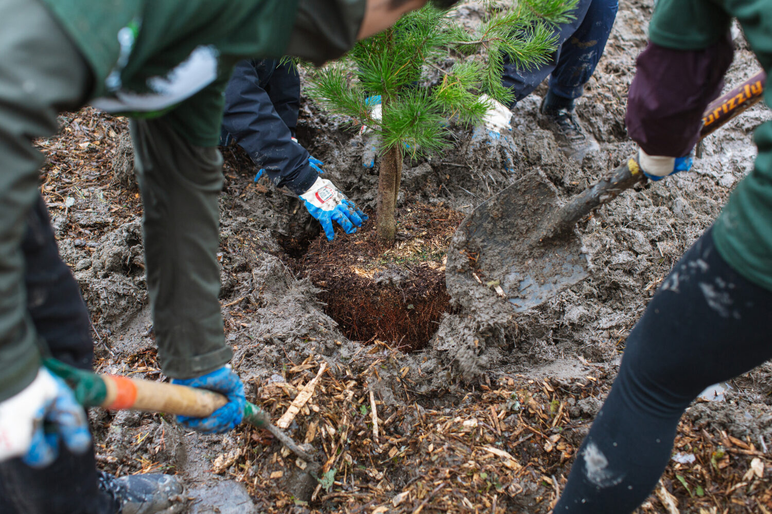

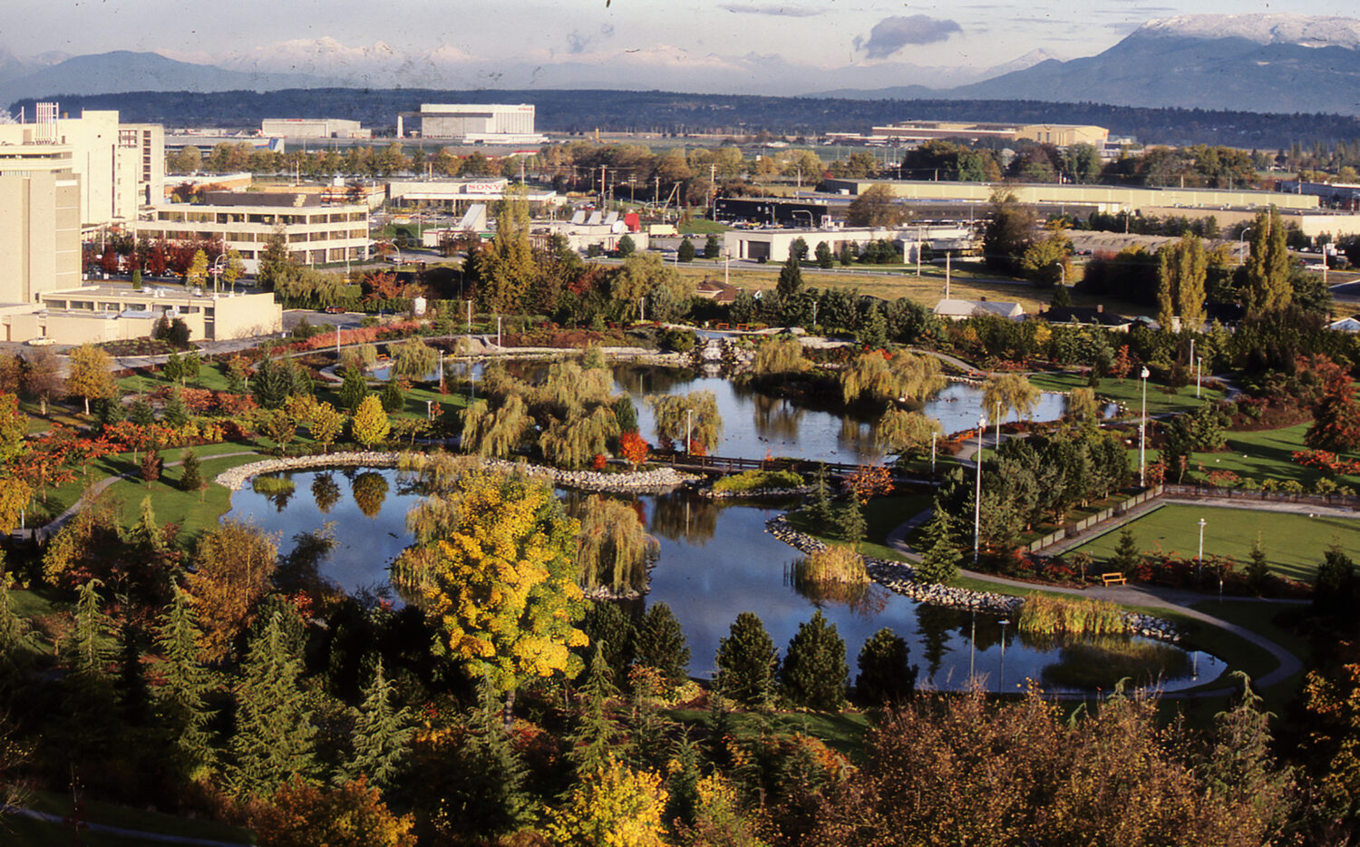
Sustainable City
Bike routes, transit, geothermal heating and cooling and other sustainable options are growing by the day.
The urban forest is also growing with more trees being planted each year to create a larger tree canopy.
Pollinator pastures, meadows and trails for bees and butterflies are popping up around the city.